3D Statue of Liberty

I take aerial lidar point cloud and turn it into a 3D object.
https://www.thingiverse.com/thing:3615141

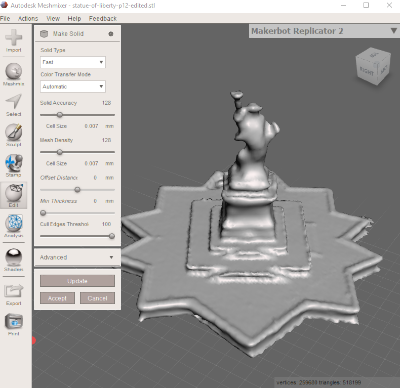
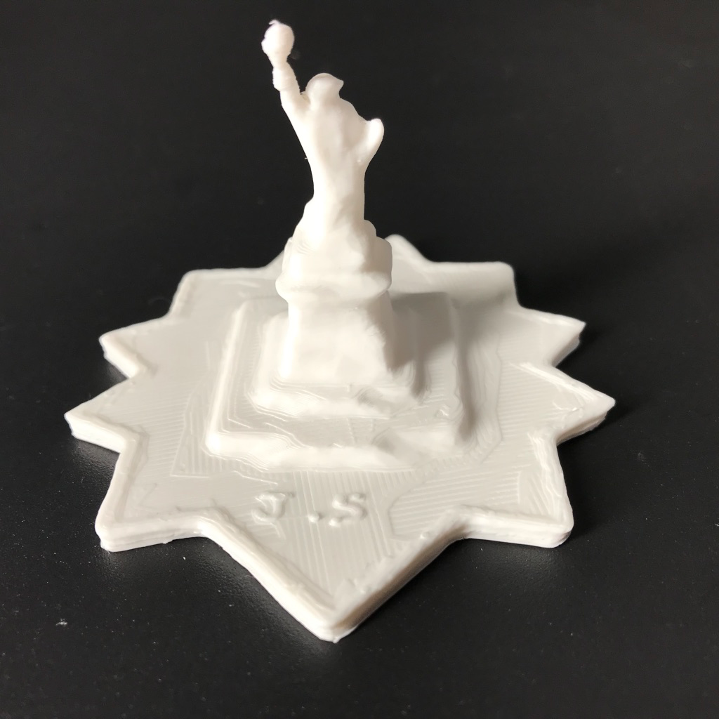
With Meshmixer, there is a great option in “Edit” > “Make Solid” and it generated this for me. Well done! Exactly what I was looking for. Otherwise it prints as hollow.

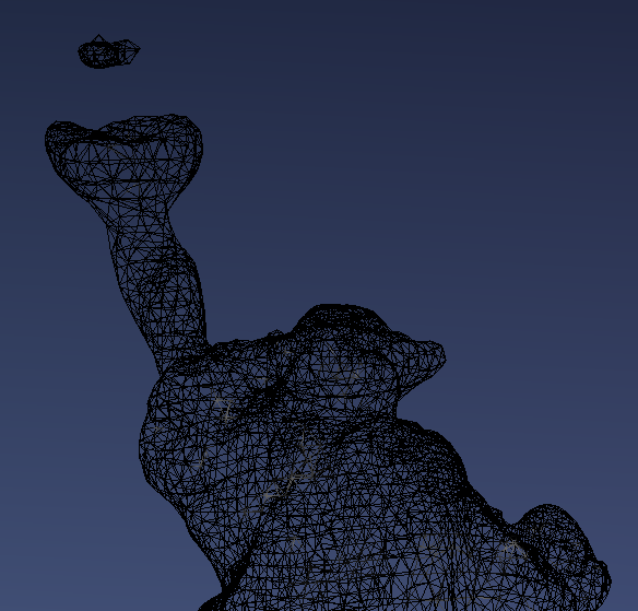
Have to fill in holes here

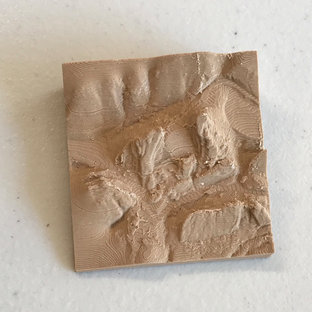
After some sculpting…

The Meshmixer tools are way more intuitive to use than Blender or anything else for that matter!

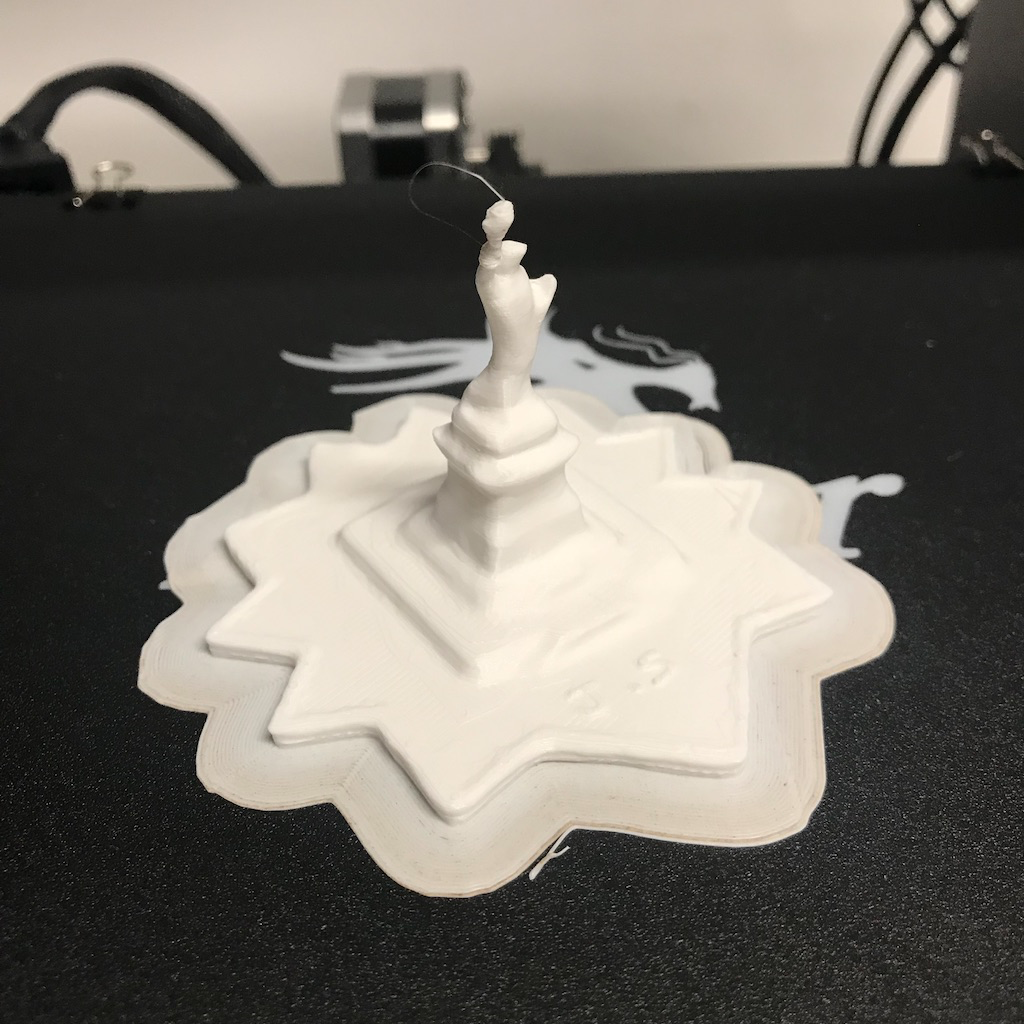
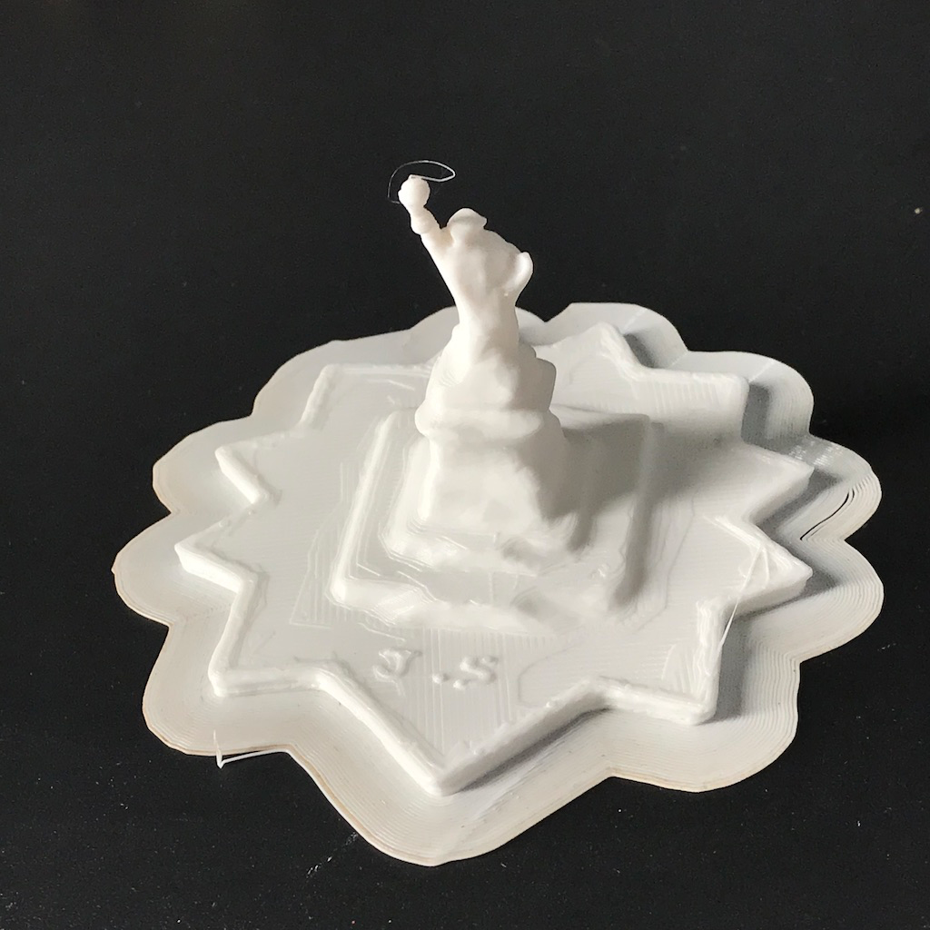
I didn’t notice but the bottom is not completely flat. As I printed this out. There was a power interruption when I used the pressure washer it jumped the breaker. Here’s the result.

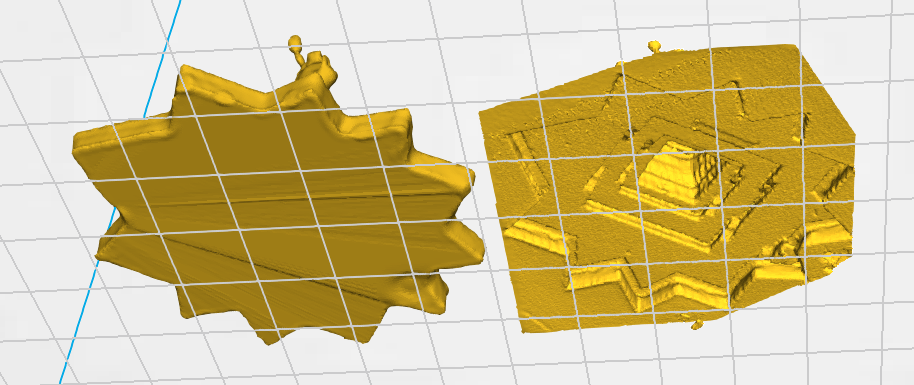
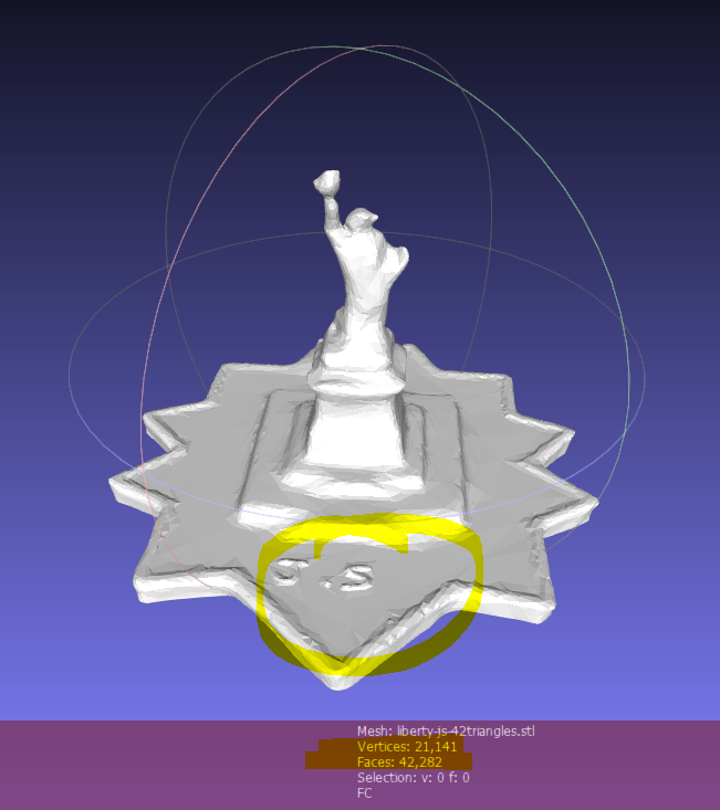
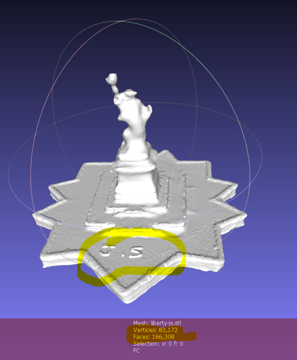
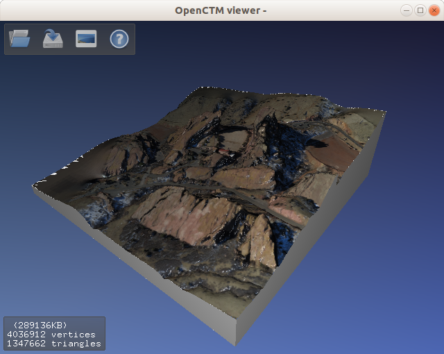
There are also too many polygons with the original. 83,172 Verticies and 166,308 Faces. Using MeshMixer I could reduce verticies to 21,141 and faces 42,282. This lower poly count object should print cleaner too. Notice the surface.

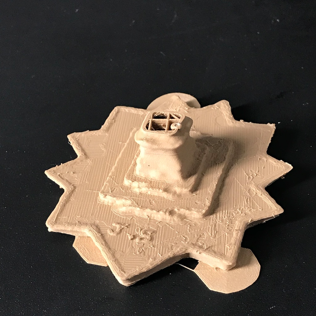
Obviously the wood print failed. But I am happy with the white result!

Converting PLY to STL in Meshlab

Meshlab can do this, if you don’t have access to a linux machine and use

ctmconv red-rocks-smrf-only-delaunay.ply red-rocks-smrf-only-delaunay.ply

Meshlab seems great, may even be as useful as Blender.

On Windows 10, the default viewer.

I’m going to use the Creality Slicer (which is based off Cura). It doesn’t quite fit.

This seems reasonable to print.

Will fire up the printer and see!

Golden Gate

I was playing around with the lidar dataset from UCSD and visualizing it on Entwine.


Wanted to share some beautiful cool pictures. Lidar is very interesting. Here are the links to play this yourself.

https://usgs.entwine.io/data/view.html?r=%22https://s3-us-west-2.amazonaws.com/usgs-lidar-public/ARRA-CA_GoldenGate_2010%22

https://s3-us-west-2.amazonaws.com/usgs-lidar-public/ARRA-CA_GoldenGate_2010/ept.json

Looking at the data format, it the bounding boxes for the octo-tree here are:

Points

-13632855.894, 4553466.772, 1.042
-13635492.356, 4553196.558, 1.418
-13634390.511, 4555612.511, 72.595
-13633919.870, 4551994.285, 81.365

Ones in bold are the min/max vals, thus forming our X, Y bounds.

  {
      # type: readers.ept
      bounds: ([-13635492.356,-13632855.894], [4555612.511, 4551994.285])
      filename: https://s3-us-west-2.amazonaws.com/usgs-lidar-public/ARRA-CA_GoldenGate_2010/ept.json
      resolution: 0.5
      # up to 0.5m resolutions
    }

Actually this didn’t return any data. So I’m doing another selection with larger area.

The pipeline

{
  "pipeline": [
    {
      "bounds": "([-13637879,-13630062], [4549481,4557084])",
      "filename": "https://s3-us-west-2.amazonaws.com/usgs-lidar-public/ARRA-CA_GoldenGate_2010/ept.json",
      "type": "readers.ept"
    },
    {
      "filename": "golden-gate.laz",
      "type": "writers.las"
    }
  ]
}

474M May 4 23:50 golden-gate.laz

I put together and loaded this data, visualized with potree:

http://potree.entwine.io/data/custom.html?t=%5B-13633083.085886605,4558454.642095785,-3140.1667813895765%5D&p=%5B-13633789.913150359,4538864.068838491,6564.589746511545%5D&r=%5B%22http://127.0.0.1:8080/golden-gate.laz/ept.json%22,%22https://s3-us-west-2.amazonaws.com/usgs-lidar-public/ARRA-CA_GoldenGate_2010%22%5D&m=8&era=%5B-148,781%5D&cf=%5B0,3,4,5,6,7,8,12%5D

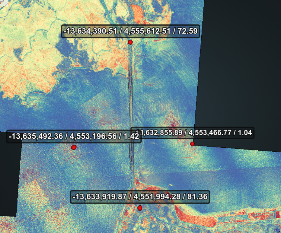
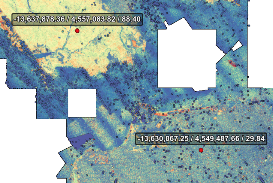
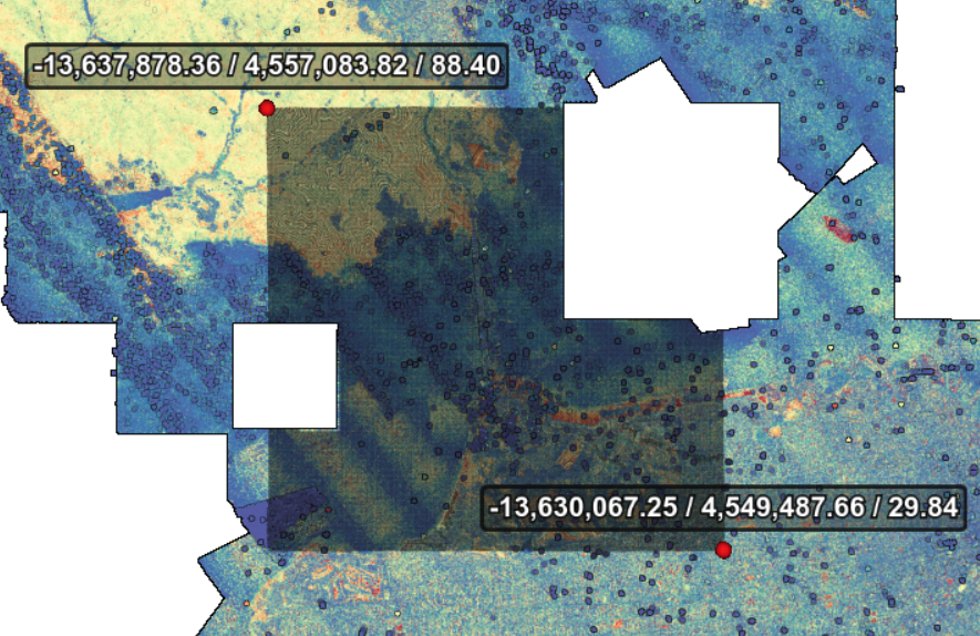
Classification side view. Some noise can be seen.
Without noise
Without vegetation. The bridge seems to be (incorrectly) classified as such.
Without water.
Without unclassified, leaving just the ground.

That’s it folks!